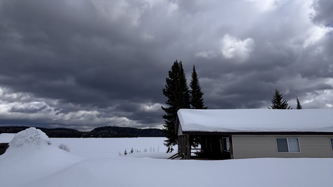
Exceptional summer weather continues across North America. However, in Northwestern Ontario this has translated to cooler than seasonal temperatures with rainfall amounts ranging from inconvenient to causing prolonged flooding.
The bigger picture in meteorological terms includes a persistent trough of low pressure over our region with a ridge of high pressure over western North America. This “high amplitude flow” features record heat across western Canada with highs of 35° to 42° C (95° to 107° F) in British Columbia and higher than 30° C (above 86° F) now common in the Yukon and the Northwest Territories. Extreme heat advisories are in place from California to above the Arctic Circle and so are the forest fires.
A temperature of 90° F (31.6° C) is a threshold of hot weather in the United States, while a threshold of 30° C is used in Canada. Most people do not appreciate temperature extremes like those presently experienced in British Columbia and this is highly unlikely – but the thresholds of 90° F and 32° C are in danger beginning on Sunday and early next week.
Regardless of which degree point you use, hot days have been an endangered species in Northwestern Ontario and the adjacent states of the Midwest this summer. Minneapolis for example is still waiting for the first hot day this summer and Chicago has only counted one. Thankfully change is upon us as a high pressure system is moving into the region. A cool night under clear skies will usher in a transition to near normal temperatures and fair weather over the next couple of days. Warmer and more humid conditions will follow.
Graham


