To determine if ice is safe start by taking the average temperature (in degrees Fahrenheit) over the past 24 hours. Let’s say that the daytime high yesterday was 30° F and the nighttime temperature last evening was 20° F. This means the average temperature was 25° F. Now, subtract the average temperature (25° F) from the freezing point of water (32° F) and we get 7°… or more importantly, seven freezing degree days (FDDs).
That was simple, right?
Now, everything kicks into gear when your favourite lake first develops a thin coating of ice. From this stage on, the ice will typically increase in thickness at the rate of one inch per 15 freezing-degree days (FDDS). So, if we go back to our example, this means that if there were seven FDDs over the last 24 hours, the lake added about half an inch of ice.
Of course, we know that ice builds up more quickly when there is a slight to moderate breeze, no snow on the surface, and clear skies. Snow, in fact, acts like a thermal blanket and serves to keep the frost from penetrating the surface of the lake and the ice. As a result, deep snow cover will slow down the ice formation process significantly.
Small and moderate size stocked trout lakes usually offers the best early-season bets for the eager ice angler.
Indeed, as I’ve mentioned in the past, this is why lakes in the high Arctic don’t freeze into a solid block of ice. At some point, the snow and thick ice act as a down jacket to stop the water from freezing any further.
Here is a formula that keeps track of how much and how fast ice is forming on Ontario Lakes. The detailed diaries using the chart below use data from the U.S. Army Corps of Engineers.

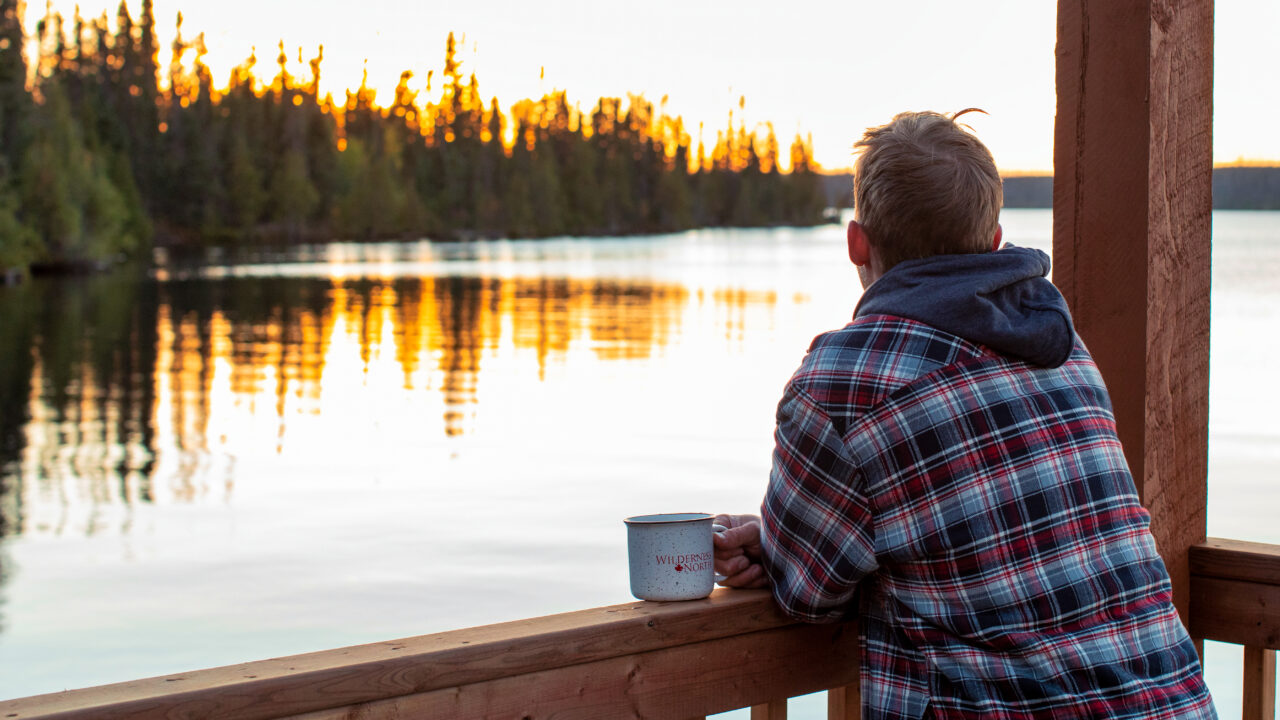
The good news is that many of the lakes across Northern Ontario are now beginning to be covered with ice. And if you keep track of the high and low temperature each day, you can accurately determine if the ice is safe.