The Albany River is a river in Northern Ontario, Canada. It flows northeast from Lake St. Joseph in Northwestern Ontario and empties into James Bay. It is 610 miles long to the head of the Cat River, for the title of longest river in Ontario. The river was named after James, Duke of York and Albany, who later became King.
The river begins at Lake St. Joseph and flows over the Rat Rapids dam and under Ontario Highway 599 into Osnaburgh Lake. The river empties into the Akimiski Strait on James Bay via a series of channels. The river is navigable for the first 249 miles.
This river drains an area of 52,201 square miles and for much of its length, the river defines the boundary between Thunder Bay fire protection districts.
There are three diversions in the Albany River watershed, all diverting water from the James Bay drainage basin and all undertaken as part of projects.
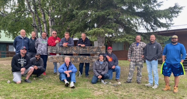
Today, only two lodges and one outpost camp are allowed along the river, both operated by Wilderness North of Thunder Bay, Ontario. One is Miminiska Lake Lodge and there is a lodge and outpost cabin on Makokibatan Lake.
Since the Albany extends far to the west, its mouth is a natural site for a trading post. Trade in the area was long contested by the English from Hudson Bay and the French on the Great Lakes. In 1674 Charles Bayly of the Hudson’s Bay Company became the first European to see the Albany. Sometime before 1679 the HBC founded Fort Albany, Ontario at the mouth of the river. The land north of the Albany River was part of the Northwest Territory until 1912, when it was transferred to Ontario in the Ontario Boundaries Extension Act, 1912.
The Albany River is the longest and largest river in Ontario. From the northwestern part of Ontario eastward course to James Bay, the Albany River first flows through a network of interconnected lakes on the Canadian Shield, the largest being Lake St Joseph. Near the smaller of its 2 main tributaries, the river drops over a number of waterfalls signaling a change in landscape. From here, the Albany River leaves behind the Canadian Shield and continues to its mouth through the Hudson Bay Lowlands.
The 35,000 acre drainage basin is the ancestral lands of the Cree and Ojibwa, who continue to hunt and fish here. They participated in the fur trade after the Hudson’s Bay Company (HBC) established a post at the river’s mouth between 1675 and 1679. The river was then known by its Cree name, Chichichiwan or Chichewan(meaning “many rivers forming one which flows to the ocean”.) The Albany River was an active fur-trading route. The first York Boats were built for use on the Albany. Henley House, the HBC’s first inland post, was erected in 1743. More successful was Osnaburgh House in the Upper Albany on Osnaburgh Lake. The river continued to be important in the until 1932 when a railway was completed to Moosonee.
The Albany River is one of the few remaining pristine rivers in Ontario. Access is limited with only one highway (599, built in 1956) passing through Osnaburgh to the mining community of Pickle Lake, and there are airports at Fort Albany and Kashechewan (both near its mouth), Marten Falls (Ogoki), Fort Hope, Slate Falls and Cat Lake. Except for Pickle Lake, which lies about 40 km north of Osnaburgh Lake, these are Cree (Fort Albany and Kashechewan) or Ojibwa communities whose economies are a mixture of subsistence pursuits, traditional activities (fishing, hunting and trapping) and government services augmented with tourism and some employment in regional mining and forestry projects. The Middle Albany is protected by Albany River Provincial Park.


