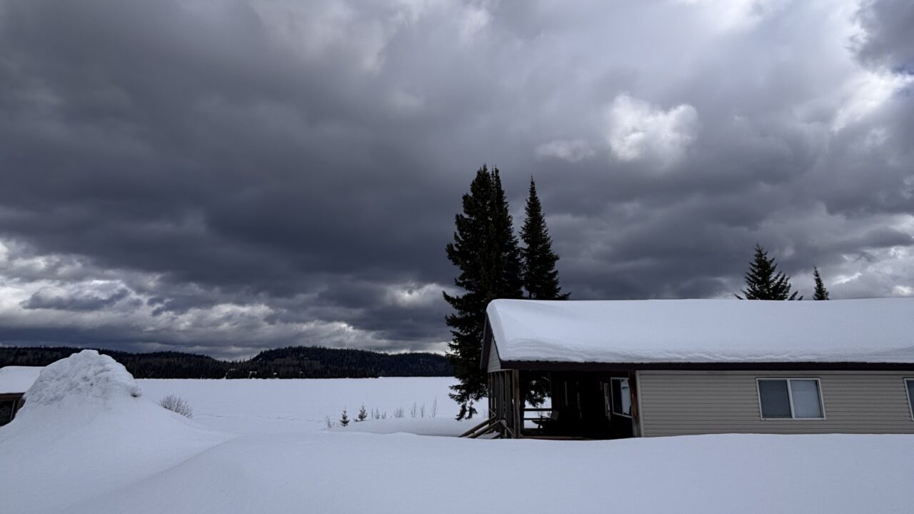
 Clouds Down…Clouds up…Maybe some rain…
A high-pressure ridge defined weather conditions late last week and over the weekend. Record-breaking temperatures in the mid-90s F were recorded on Monday in the Albany watershed. Oddly enough, cooler conditions (about 80) were common in more “southerly” locations such as Armstrong, Nakina and Thunder Bay.
A pair of cold fronts yesterday brought brisk winds and temperatures of around 70; about average for this time of the year. Today will feature showers and then clearing. Seasonal temperatures and occasional afternoon showers are likely in the next days.
Over the coming weekend southerly wind flow and temperatures in the mid-70s F and considerable sunshine are expected. This high is unlikely to persist, with a return to seasonal temperatures following early next week.


