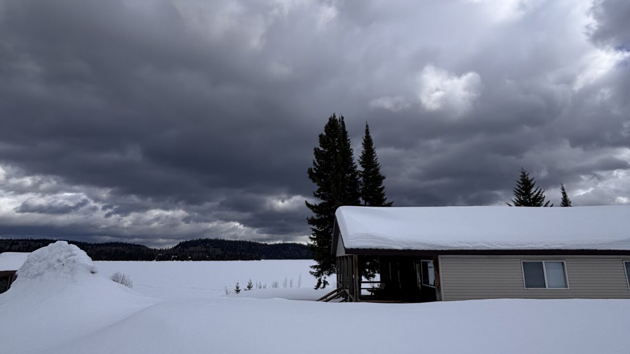
Seasonal weather continues to lag behind by about a month. No, this is not the ides of March, it is mid-April. Winter storms have morphed into spring storms. Yes, with all the snow on the trees views from the windows appear like Christmas cards, but the temperature is around the melting point which can add complications for travel.
Speaking of complications, the amounts of snow on the ground implies a few. The spring melt is also lagging behind. Many areas on the Canadian Prairies and the American Midwest have increasing dangers from major flooding. As much as 76 cm (30in) is on the ground in Manitoba near the Red River.
We are having an extended time of very unusual weather. It extends at least back to March of last year, where most people enjoyed record warm temperatures more than shoveling the snow and slush of this spring. A present oddity is how uniform temperatures are over a vast area of North America. Presently, and for the past week or two, temperatures have barely climbed above the melting point from the Midwest through Northwestern Ontario to beyond Yellowknife in the Arctic. Of course, these conditions spread over 20 degrees of latitude prompt different reactions from “Warm, isn’t it?” in the Arctic to “Will spring ever arrive?” in the south.
Keep in mind that I am merely the messenger: Present cool and stormy conditions are likely to persist for another week or two. Increasing flood potential is the main concern but cool conditions and persisting snow means delays in “ice-out” on northern lakes.
Looking forward to spring,
Graham