 Last week in review:
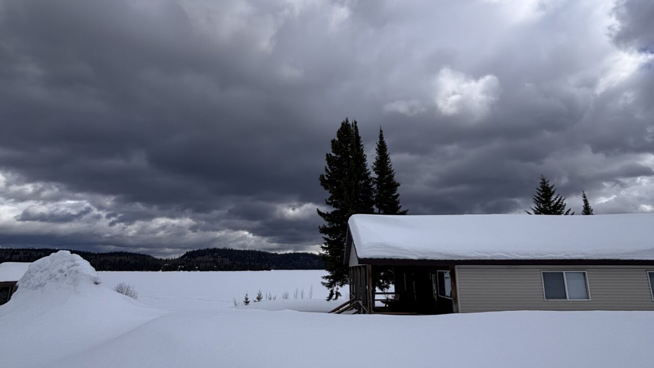
Cloud with minor rainfall amounts and cool temperatures prevailed earlier last week. The weekend brought mainly sunshine although temperatures continued to be slightly cooler than seasonal. Windy conditions, prevalent in recent weeks, were not a concern during the past seven days.
This Week’s Forecast:
Yesterday’s showers and unsettled conditions are likely to be replaced with a mix of sun and cloud through today and into the weekend. Brief, occasional showers are likely. Expect cloudy skies and some moderate rain showers beginning on Sunday and continuing on Monday.
Long-term temperature records confirm that the coming week is typically the warmest of the summer. The catch is the word “typically.” Temperatures are likely to continue cooler than average in the coming week.
The first half of the summer has often been unusually cool and unsettled. The reasons are complex, although a major contributor has been frequent positioning of a trough of low pressure over central Canada. This atmospheric pattern results in flow of northern air and, as important, a reduction of warmer air from the south.


