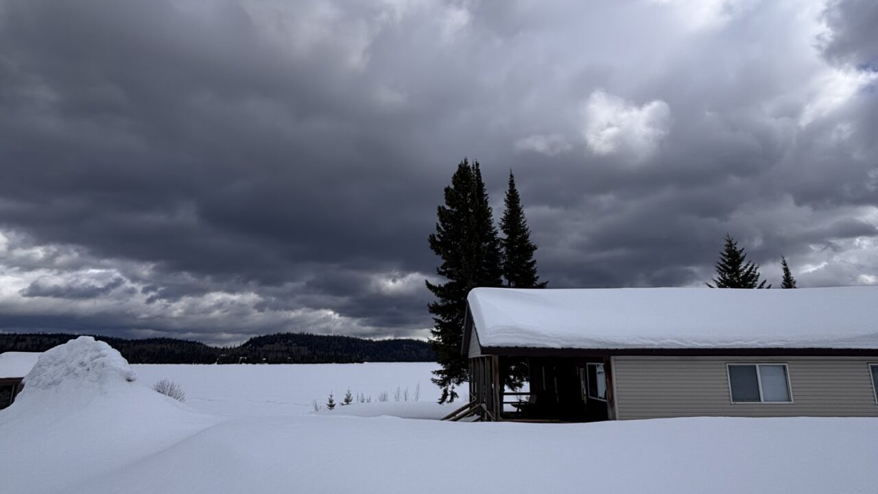
 Gasp! The year 2012 is nearly over – it is time to start crunching some of the weather numbers.
With the condition that very unusual weather over the next three plus weeks could cause what follows to change, here we go with the latest round of weather predictions: In Thunder Bay and most of the Northwest region, including Minnesota and parts of the Midwest, 2012 is likely to be the warmest year on record. Of course, it could be cold in the near future but, with an exceptionally warm beginning to December, it would need to be very cold.
Many people in Thunder Bay and Duluth may remember 2012 as a very wet year. People in Thunder Bay will remember the intense rains on May 24 and then again on the 28th, that were followed by intense flooding which resulted in so much damage. The total rainfall in May was three times the average and easily set a new record. However, May was the only month with significantly above average precipitation.
Duluth’s flood came on June 20 and 21st, with record rainfall and a first in 500-years flood event.
Averages do not tell the whole story! Despite the floods in May and June, this year will go into the books as a “normal” year for total precipitation in Duluth and Thunder Bay – a little more rain and less snow than usual. Of course, if we get a huge dump of snow next week – the skiers will be very happy and that might tip the scales.
Graham Saunders


