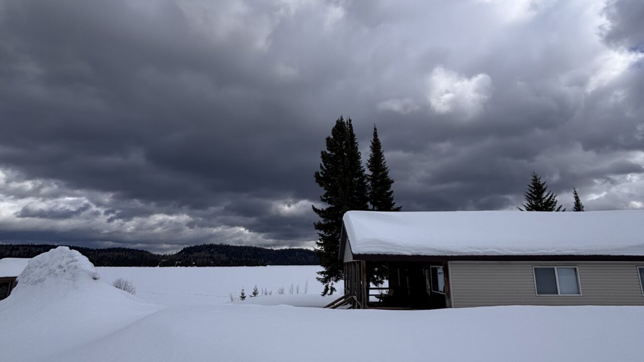
There have been enough grumbles about the late spring. It’s now June, so perhaps the talk should be about how the summer is panning out but, at least to date we are still experiencing conditions that mimic spring. The growing season is delayed but the black flies seem not to care and are out if full force. One of the observations being made in the Northwest during these frustrating weather times is: “At least we don’t have earthquakes and hurricanes”. It is best not to include tornadoes in the list of seemingly impossible hazards as they have been known to occur on rare occasions, but have never been on the scale of what happens in “tornado alley” to the south.
After a relatively benign beginning to the tornado season this year it has abruptly changed to new records and scary activity, especially in Oklahoma. The Moore tornado of May 20th, 2013 that devastated an Oklahoma City suburb was rated as an EF-5, the most severe category. Last Friday (May 31) featured another EF-5 tornado in the suburbs of Oklahoma City. Sadly, there were more fatalities and massive property damage. Along with the swath of devastation it caused, this tornado had another claim to fame – at 2.5 miles (4.1 km) it became the widest width ever recorded!
On a much lesser scale, the Northwest region also endured a double whammy as the region prepared for another flooding event last week. Thunder Bay was in the meteorological middle – brief strong winds, light rain, and scattered reports of hail. Spectacular clouds were visible in the evening last Friday (May 31). More severe weather took place both to the north and south of Thunder Bay. These include the Makok report, very heavy rains in Armstrong, and occasional areas of forest blow-downs. Similar weather events took place in northern Minnesota. Tornado and flash flood warnings extended from southern Minnesota to northern Texas and of course into Oklahoma City.
Were these various and broadly separated events related? They weren’t last round, but this time radar images and the included photographs suggest a north-south corridor of severe weather about 1300 miles (2100 km) in extent.
We’ll see what the weather brings next week,
Graham


