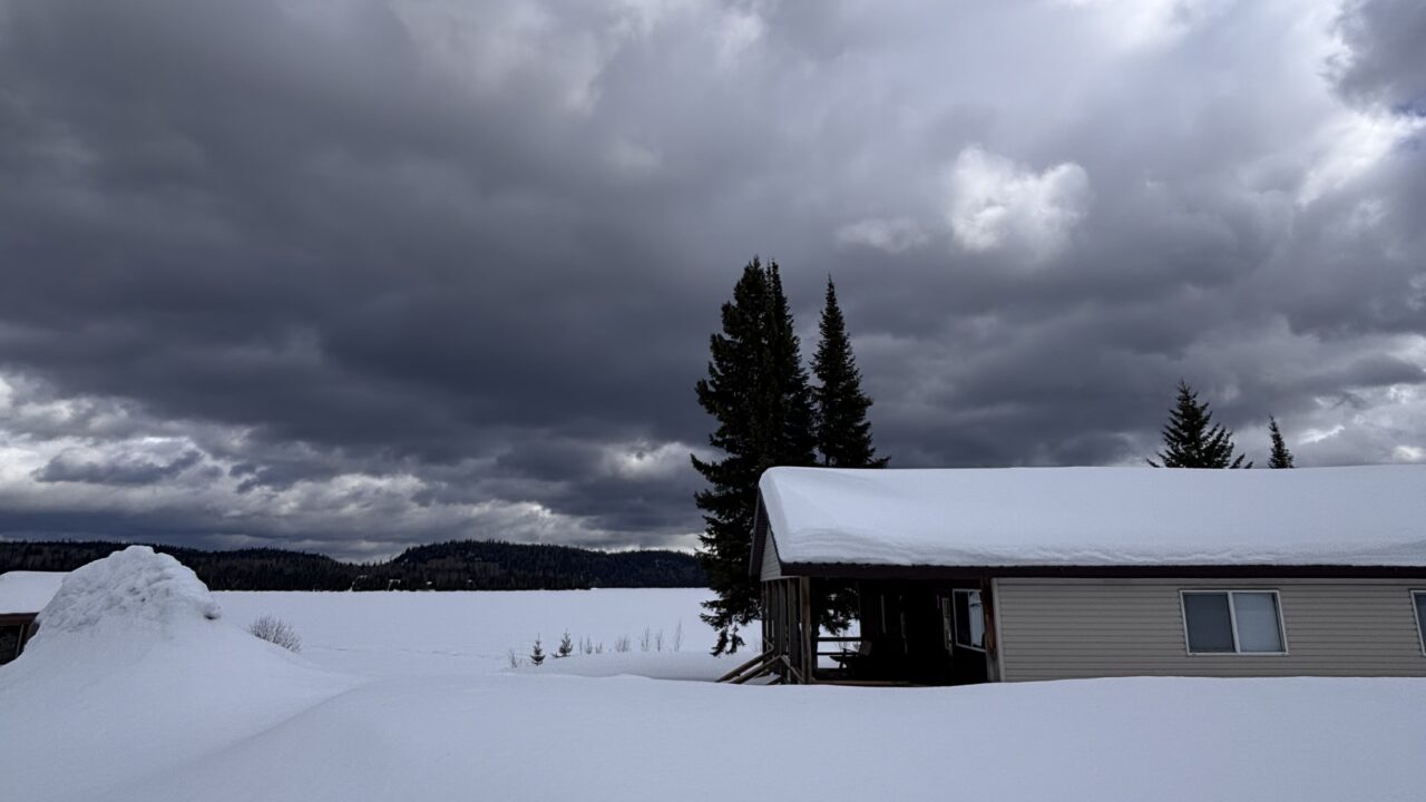
 Weather variety has to be the theme of the previous week. Temperatures changed from seasonal to quite cool and windy during the previous two or three days. Thunderstorm activity has been below average this year but made a comeback in the past seven days. Some thunderstorms resulted in moderate rain amounts and continued a slow recovery of regional water levels. WE had three inches at Armstrong base.
Today is likely to be the coolest day in the coming week. Temperatures will reach mid-70s F (around 25 C) most days. Sunny days will be followed by more clouds and occasional showers later in the week. The outlook for July includes temperatures and precipitation near or slightly above average.
Here are some factors that can influence these long range forecasts – no, it is not a dartboard!
1. An assessment of water temperatures in the tropical Pacific Ocean. This is the basis for the much talked about El Niño effect.
2. Other cycles or oscillations of air pressure occur in the tropics and over the Pacific, Arctic and Atlantic Oceans. These far-distant processes are considered in the grand calculation as well.
3. Another influence, and it is somewhat complicated, is upstream soil moisture content…Asleep yet…hang in there!
The most recent El Niño (May 2009 to March 2010) has been replaced by neutral conditions but current trends and model outlooks suggest the chance of a La Niña in 2010 is now clearly more likely than not. Environment Canada, as of June 1st is displaying maps that indicate warmer than normal summer and fall seasons, followed by a below normal winter. I am staying with the summer forecast made in March. As with El Niño, there is a lag time between formation and effects experienced in Canada.
….Graham Saunders


