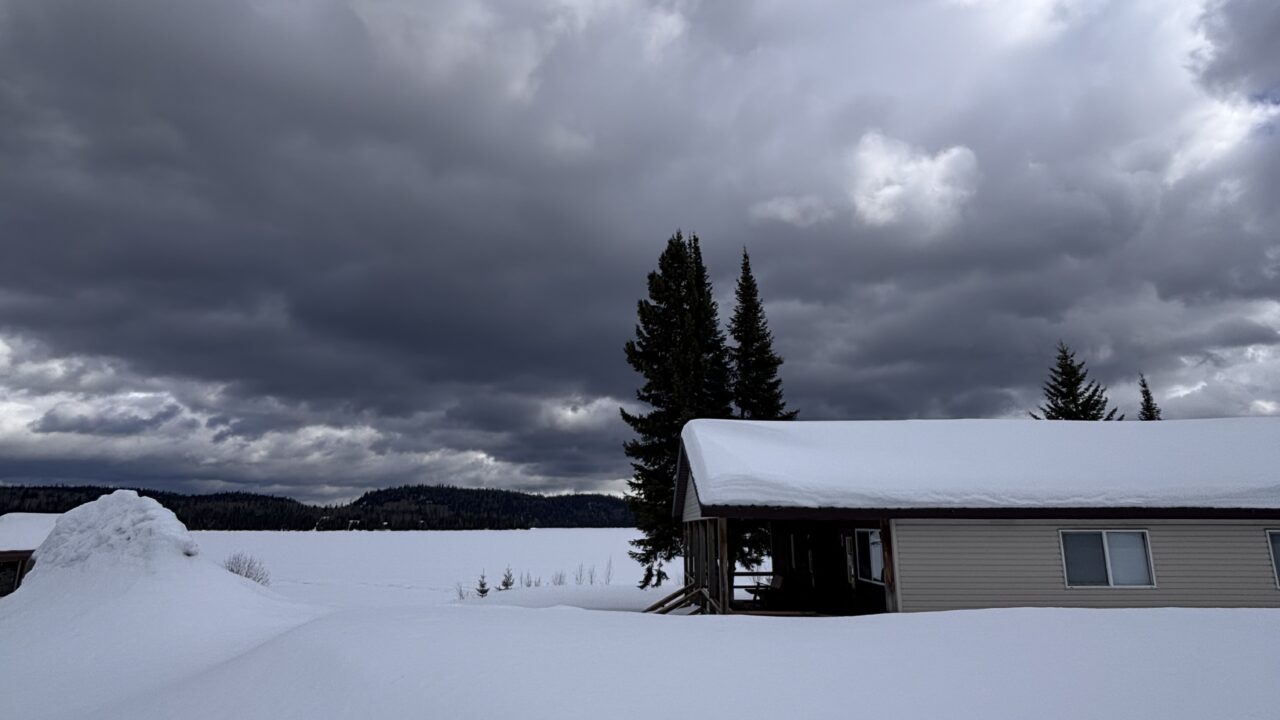
Say farewell to summer. The kids are heading back to school and the beginnings of autumn can be felt. Meteorological autumn began on Monday as we moved beyond the warmest three months (typically) of the year. However, the official start to the season is signaled by the Autumn Equinox which is quickly approaching. Things happen quickly at this time of the year. In Thunder Bay for example, compared to the Summer Solstice there is 2 hours and 45 minutes less daylight and we will lose yet another 70 minutes by the Equinox on September 22! This decline of daylight is even more pronounced to the north along the Ogoki and Albany river systems and less so in the Midwest. The decline in temperatures is also rapid. Daytime high temperatures average about 20° C (70° F) for a few more days but by month’s end maximum temperatures have declined to 14° C (57° F).
There is no shortage of predictions for the upcoming seasons. In the short term temperatures in the region will occasionally reach 20° C (70° F) but the following week looks below seasonal here in Thunder Bay and in the Midwest. Both Environment Canada and the American National Weather Service (for Minnesota/Wisconsin) are predicting September to be cooler than normal.
There is minor variety in the long-term winter forecasts. The Climate Prediction Center of the National Oceanic and Atmospheric Administration (NOAA) current forecast for December-January-February calls for a large area of warmer-than-average conditions from the Pacific Ocean stretching east into Wisconsin. Environment Canada has a similar outlook with warm conditions on the west coast and the Prairies, seasonal conditions in this region and cooler to the east. Precipitation is predicted to be average or slightly below average for the region.
The Farmer’s Almanac is the outlier in the forecasting biz. They provide seasonal forecasts well in advance of other agencies. They do not reveal their methods but base predications on solar patterns and historical weather data. The 2015 Farmer’s Almanac calls for well below average temperatures with above average snowfall in central North America.
Unlike the Almanac, Environment Canada and NOAA are basing their forecasts in part on the likelihood of an El Niño event in the coming months. Such an occurrence is based on warmer than normal surface waters in the tropical Pacific Ocean. Exceptionally warm water (a strong El Niño) influences the position of jet streams and generally results in warm winters along the Canada/United States boundary from coast to coast. Less pronounced El Niños result in a warm/cool split within some areas of central North America.
The warming process in the tropical Pacific has stalled in recent weeks, suggesting a strong event is unlikely. August produced little warming but waters below the surface of the Pacific have warmed during the past few weeks. Therefore above-average temperatures near the surface are likely to persist or strengthen over the coming months. The current odds of El Niño developing in the coming months is double the normal likelihood.
My assessment is for between a weak and moderate El Niño but we will just have to wait and see.
Graham


