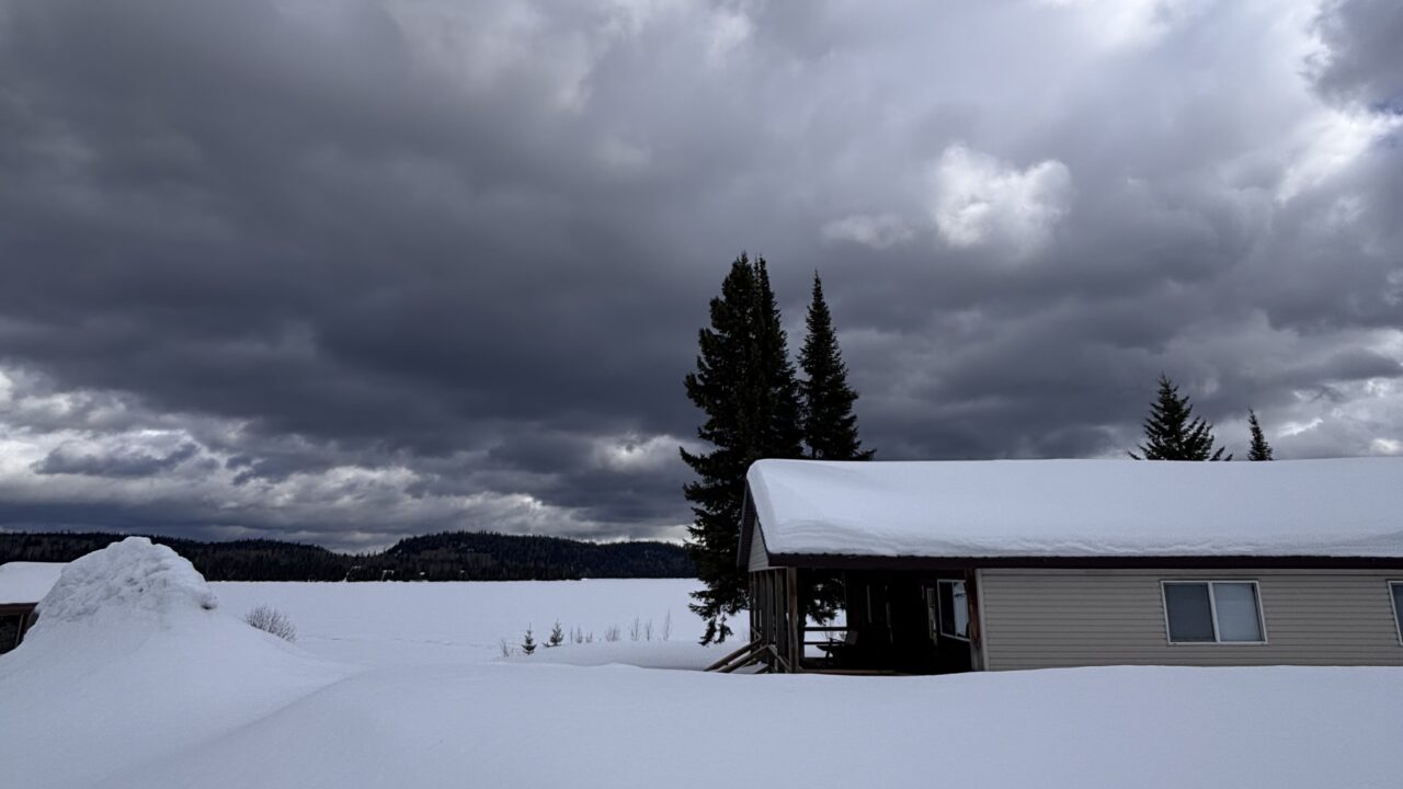
Some of our readers may know about the “Weather Whys” column that appears in the Chronicle Journal every second Sunday. Even when it appeared every week there was no shortage of weather stories –thanks to Lake Superior and the role it plays in this region’s weather. All the floods and other notable weather events taking place over the past few years sometimes justify an extra weather news story from time to time. So here’s a good one for you this week.
Today’s news is about Lake Superior and the remarkable recovery its made in terms of water levels. Lake Superior, Lake Michigan, and Lake Huron have been below their long-term average for 15 years. There have been many consequences including reduced loads for commercial shipping, extended beaches, and docks normally used for recreation and fishing being left high and dry -far away from the shoreline. As many of the guests can probably attest to, Lakes Michigan and Huron set an all-time record low for water levels in January 2013, based on records going back until 1918.
Lake Superior has recovered slightly from its record lows set in August and September of 2007, but it’s overall water level has continually remained about 30 to 40 cm below normal levels in more recent years. This year however, a substantial rise in water levels within Lake Superior has taken place in recent months. So far in 2013, Lake Superior’s seasonal rise has been 54 centimetres (21 in) from March through to mid-August. The average seasonal change for Lake Superior is 30 centimetres (one foot) from the lowest level, usually observed in March. The highest level typically takes place in August or September. This March, the lake level was 182.9 metres above sea level and a typical recovery (or less) would have resulted in light loads for freighters and limited access to some harbours. Yes, it has been a wet spring and summer and, although not the wettest season on record, the 54 cm increase is the second highest on record. The record of 58cm was set in 1968 after an unusually wet spring season. Recorded water levels for the March-August period go as far back as 1918 and, although not as reliable, even back to the mid-18th Century.
Any geologists or random history buffs out there will be interested to know that despite Lake Superior’s increase in volume, its outflow of 5000 cubic meters per second (m3/s) is dwarfed by that of Lake Agassiz which discharged more than 100,000 m3/s. Nevertheless, this summer has been the first one since 2006 with a comfortable margin above chart datum (for navigation charts). However the present level, recovered as it may be, is still 8 cm below the long-term average.
Throughout the month of July, both Lake Superior and the surrounding basin received above average precipitation– about 160% of the seasonal average (including subsequent runoff). Okay, this not a revelation to readers around Superior or in the Midwest as Lakes Michigan and Huron are 50cm above their record low set in January (still 47cm below average), but I thought it was something worth mentioning.
The International Lake Superior Board of Control, under the authority of the International Joint Commission, set the Lake Superior outflow to 2,980 m3/s for the month of August. I know some of you might be thinking that there are many seconds in a month, but this amount of water flow is considerable. An average monthly rain total in August would contribute 100 billion cubic metres to Lake Superior, nearly 20 per cent more than the discharge into the St. Mary’s River at Sault Ste. Marie.
Making a future prediction does not make it happen. With this in mind I will try and provide an accurate weather outlook for this week and into the next. This week should feature warmer conditions and do not be too surprised by afternoon temperatures of 25 to 28° C during next weekend. Rainfall prediction is always more chancy this far in advance; a few “pop-up showers” are more than likely to occur, but probably no deluges.
Enjoy the next few weeks,
Graham


